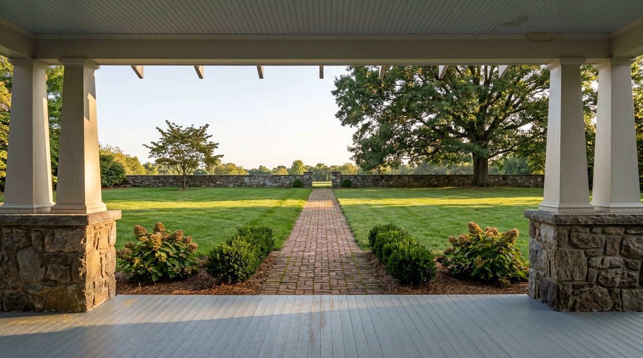
The Trail Everyone Walks in Rome Is Actually Five Trails Stitched Together
September 17, 2026
September 17, 2026
Ask someone who walks the river paths in Rome which trail they use, and they will name one place: the levee behind Heritage Park, the loop past the ballfield, the stretch that runs by the library. Ask what it connects to, and most people guess wrong.
That is because the "Heritage Trail System," the name printed on the parks department map and the rack card at the welcome center, is not one trail. It is five separate trails, built across five different decades for five different reasons, that happen to meet at a handful of bridges and parking lots. Most residents have memorized their own segment and never crossed into the next one. A few of the connections are so quiet that people who have lived here for years don't know they exist.
The two busiest stretches, the ones closest to downtown parking at Town Green and Bridgepoint Plaza, are also the two most different in feel. The Heritage Park Trail runs about 0.65 miles atop a levee on the north side of the Coosa River, and it has no tree cover at all. The Oostanaula Levee Trail picks up from there and runs about 1.2 miles along the Oostanaula, also treeless except for shade at the four bridges it passes under, with a short stretch between 2nd Avenue and 5th Avenue that splits into an upper and lower path.
If you have only ever walked one of these two, you have walked the sunniest, most exposed part of the entire system. In July that matters. In November it is the best light in town.
The seam between the levee trails and everything else is a single footbridge, and it has more history behind it than most people crossing it realize.
The Robert Redden Footbridge started life as a Central of Georgia Railway crossing over the Oostanaula. It was abandoned as a rail line in the 1930s and given to the city in 1965. It became part of the original Heritage Park Trail, a one-mile loop in an eight-acre park completed in 1976, and it was dedicated in 1985 to Floyd County artist Robert Redden, who had made his name painting the Rome and Floyd County countryside. The center span used to swing open to let river traffic through. That mechanism is gone now, replaced by a fixed support column, and the bridge itself was extensively repaired in 2002, including a full replacement of the concrete underlayment.
It is the only crossing in the whole system that was once designed to move out of the way for boats, and it is now the fixed hinge that holds the sunny half of the trail to the shaded half.
Cross the Redden Footbridge and the character of the walk changes completely. The Chieftains Trail runs almost 2.5 miles along the east side of the Oostanaula, starting from behind the Rome-Floyd County Library and continuing all the way to State Mutual Stadium, home of the Rome Braves. Unlike the levee trails, it is mostly shaded, which makes it the better choice on a hot afternoon and the one segment locals underuse simply because it takes longer to reach on foot from downtown parking.
Along the way it passes the ECO River Education Center, a former Oostanaula pump station now used for river ecology programs, along with an adjacent treehouse that keeps kids occupied for a few minutes on a family walk. It also runs close to the historic Chieftains site, the former home of Cherokee leader Major Ridge, and Ridge Ferry Park, named for the ferry crossing Ridge once operated on this stretch of river. A lot of walkers turn around at the library or the ECO Center assuming that is the end of the trail. It isn't. There is nearly another mile of shaded path between there and the stadium that most people never see.
Almost everyone who walks in Rome sticks to the Oostanaula side. The Etowah side has its own trail, and it gets a fraction of the traffic.
The Kingfisher Trail is a ten-foot-wide paved path that starts at South Broad Street where it crosses the Etowah, loops around Branham Avenue, passes under the South Broad bridge, and then follows the river. It feels far more remote than it actually is. At no point are you more than about 2,000 feet from a busy street, but the tree cover and the river bends make it feel like open country. It is also the better spot for birdwatching in Rome. Woodpeckers and the trail's namesake kingfishers show up regularly along this stretch.
Here is the connection that surprises even longtime residents. The Kingfisher Trail does not dead-end. It parallels the Etowah River all the way down to Silver Creek, where it meets the Silver Creek Trail, a separate 0.69-mile path built on an old rail bed that most people treat as an isolated neighborhood shortcut near Old East Rome. It crosses the river on another converted rail bridge and links the Between the Rivers Historic District to the East Rome Historic District.
Most Rome residents who use the Silver Creek Trail think of it as its own thing, a quiet path near their own street. Almost none of them realize you can walk or bike from the South Broad Street bridge, along the Etowah, and straight into that same trail without ever touching a road. The entire system, from the ballfield near State Mutual Stadium to the historic district near Old East Rome, connects if you know where the seams are.
Once you can see the whole system as one connected loop instead of five separate walks, a few practical things follow:
Dogs are welcome on leash across the system, which is part of why so many people default to their nearest segment and never think to look further. The whole point of a trail this close to home is that you don't have to plan a trip to use it. But knowing it's actually one connected system, not five separate errands, changes what a Tuesday evening walk can look like.
That kind of local detail, the difference between a trail that looks finished at the library and one that keeps going almost another mile, is the same instinct we bring to reading a block, a street, or a river bend when someone asks us what a neighborhood is actually like to live in. If you're curious what else we notice about a particular part of Rome, The Calvert Group is always glad to talk it through, no matter what stage you're at.
Stay up to date on the latest real estate trends.

Connect with The Calvert Advantage for a real estate experience that goes beyond the ordinary. Whether you're interested in exclusive listings, exploring your home's value, or diving into our personalized services, let's connect to make your real estate aspirations a reality.